
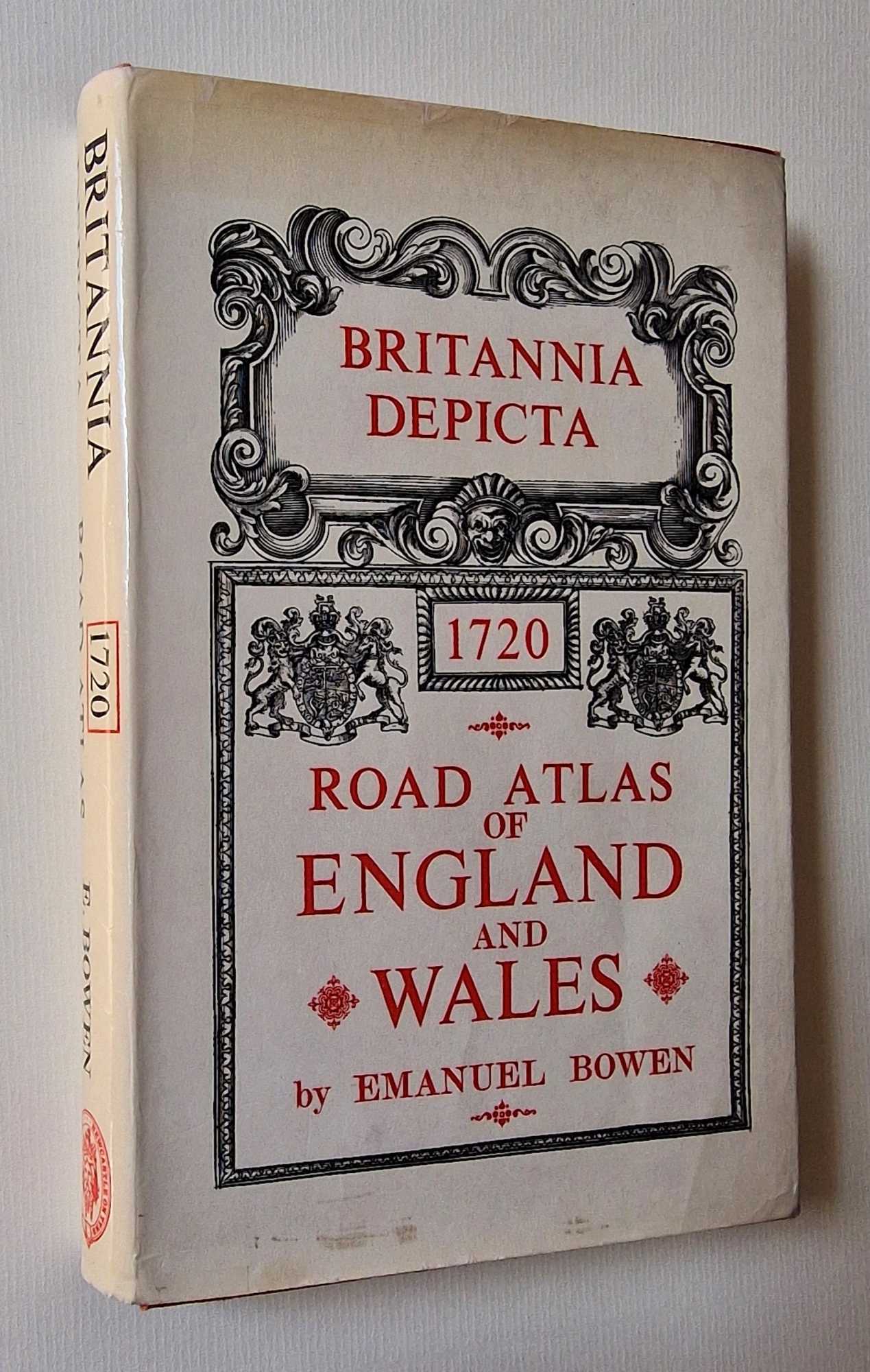
Title:Britannia Depicta: 1720 Road Atlas of England and Wales (1970)
Author:Bowen, Emanuel
Price:GBP£19.95 (about USD$27.00)
Category:Geography & Maps
ISBN:0900409398
Item ID:M002-48912
Quantity:1
Publisher:Frank Graham, UK, 1970
Edition:1970
Binding:Hardcover
Condition:Very Good
A very well-presented copy, with some occasional spots and handling marks to the margins but otherwise clean throughout with no significant creases or wear, and just some faint rubbing around the outer page edges. Dust jacket has is lightly browned around the edges and has a few small nicks at the corners repaired and reinforced with conservation tape, overall still well-presented. Why on Amazon do most sellers not describe their actual book? Buy with confidence and support a genuine Independent Bricks & Mortar Real Bookshop. We are Maynard & Bradley CAMBO & PBFA(now lapsed) members here in Leicester City Centre. Size: 155 x 230 mm. . Item Type: Book. Quantity Available: 1. Shipped Weight: Under 1 kilo. Category: Geography & Maps; Britain/UK; 1970s; ISBN: 0900409398. ISBN/EAN: 9780900409394. Inventory No: 48912.