Geographia, Green Cloth, Book Condition: Very Good, Dust Jacket Condition: Very Good, Presumed First
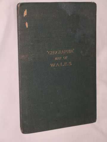
gilt titles front cover; undated (but list of motor index marks indicate somewhere between 1903 & 1921); 3 inches to 10 miles, linen, folded, 'Commercial & Political Map of Wales', in colour, by Alexander Goss F.R.G.S. produced by 'Geographia'; with distances by road, rail & air between major U.K. cities & also list of motor index marks & the places they refer to; wear to corners of covers & a couple of scrapes to front; map in very good condition with only one tiny hole at a fold corner. Size: 4to - over 9¾" - 12" tall. Item Type: Map. Quantity Available: 1. Category: Geography & Maps; Great Britain; Wales; Travel & Places. Inventory No: MAP00030.

gilt titles front cover; undated (but list of motor index marks indicate somewhere between 1903 & 1921); 3 inches to 10 miles, linen, folded, 'Commercial & Political Map of Wales', in colour, by Alexander Goss F.R.G.S. produced by 'Geographia'; with distances by road, rail & air between major U.K. cities & also list of motor index marks & the places they refer to; wear to corners of covers & a couple of scrapes to front; map in very good condition with only one tiny hole at a fold corner. Size: 4to - over 9¾" - 12" tall. Item Type: Map. Quantity Available: 1. Category: Geography & Maps; Great Britain; Wales; Travel & Places. Inventory No: MAP00030.