
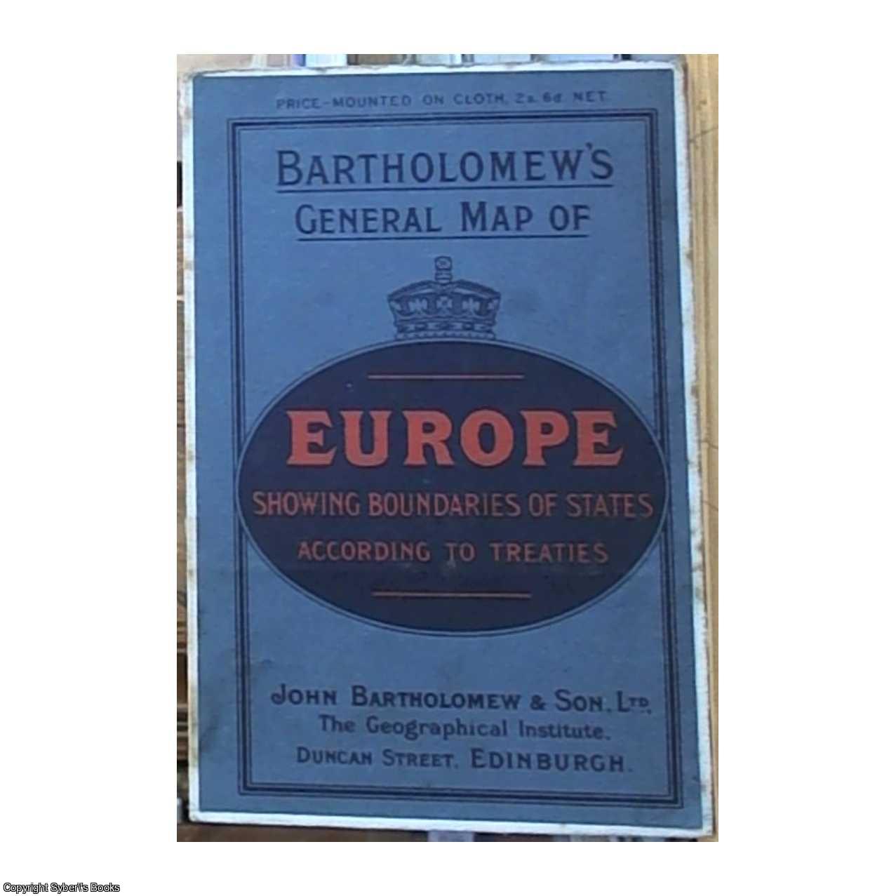
Title:Bartholomew's General Map of Europe; Showing Boundaries of States According to Treaties (Front Panel Title)
Author:Not Stated
Publisher:John Bartholomew & Son, Ltd, Edinburgh
Edition:Unstated
Illustrator:Maps
Binding:Softcover (Cloth Covered)
Condition:Good
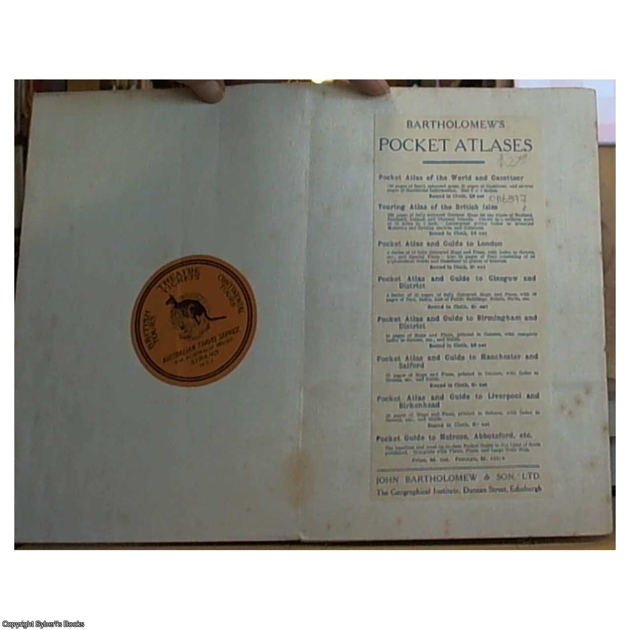
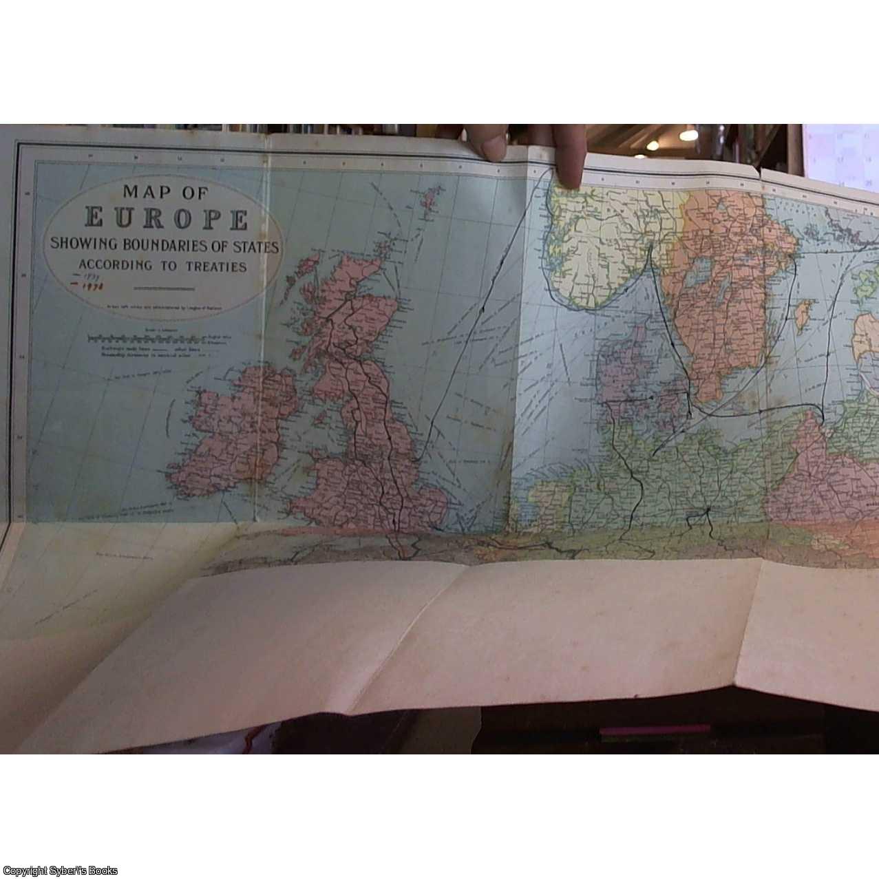
A 32 (octavo size) panel map of Europe in colour, which has been mounted on cloth. Plain text front cover with dark blue and red coloured titles. A map of Europe showing country boundaries according to treaties through the 20th century. Fraying along the edges of the map and there are 2 small tears to the top edges of the middle and rear fold. Foxing along the edges of the map borders and the front and rear panel show rubbing and a few marks. Upon opening the map there are further map titles from the publishing house, to the right-hand side, and to the left hand side original bookseller's sticker. The map shows a previous owners tour route / itinerary in various colours. Foxing to the cloth of the map and to the map itself. Size: 8vo - over 7¾" - 9¾" tall. Please refer to accompanying picture (s). Illustrator: Maps. Quantity Available: 1. Shipped Weight: Under 500 grams. Category: Geography & Maps; Europe; Genealogy & Local History. Inventory No: 0116397.